
Discovery TV's Expedition Unknown Featuring Proceq's Rodrigo Gomez & GS8000 GPR
Discovery TV's Expedition Unknown takes viewers into some of the world’s greatest mysteries. In this episode, Rodrigo Gomez and show host Josh Gates were in Peru targeting one of South America's most famous legends – Finding the hidden Inca treasure tunnels using Proceq's GS8000 Subsurface Ground Penetrating Radar (GPR).


Newsletter
Get the best NDT and InspectionTech content delivered straight to your inbox
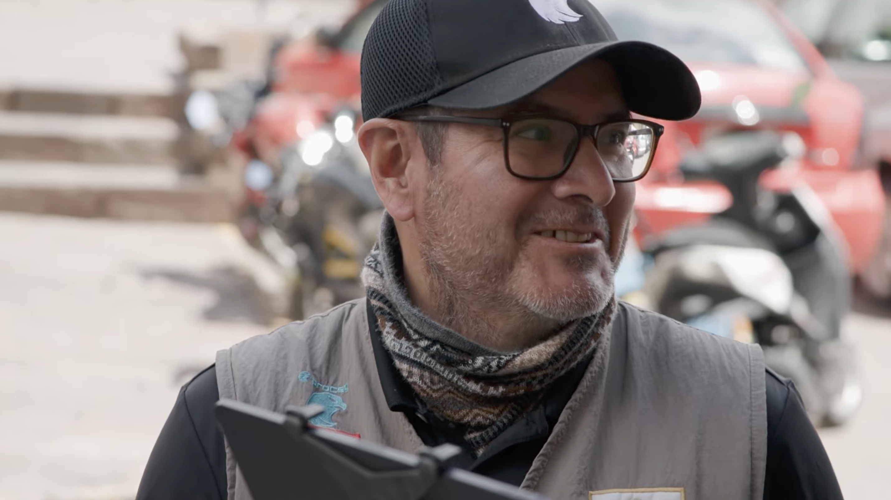
We interview Rodrigo Gomez after the release of Expedition Unknown, showcased on Discovery TV in August 2026.
Rodrigo, how did it feel to be on the show in front of 3 million+ watchers?
I have spent many years working with NDT technologies, but this project was particularly special because of the extensive use of GPR in such a unique archaeological environment. Knowing that our work would be seen by more than three million viewers added another dimension to the experience. I felt proud to have the opportunity to demonstrate to such a large audience how GPR technology can contribute to archaeology and help investigate mysteries that have remained unanswered for centuries. Being part of Expedition Unknown and working alongside Josh Gates and the production team made the experience even more memorable.
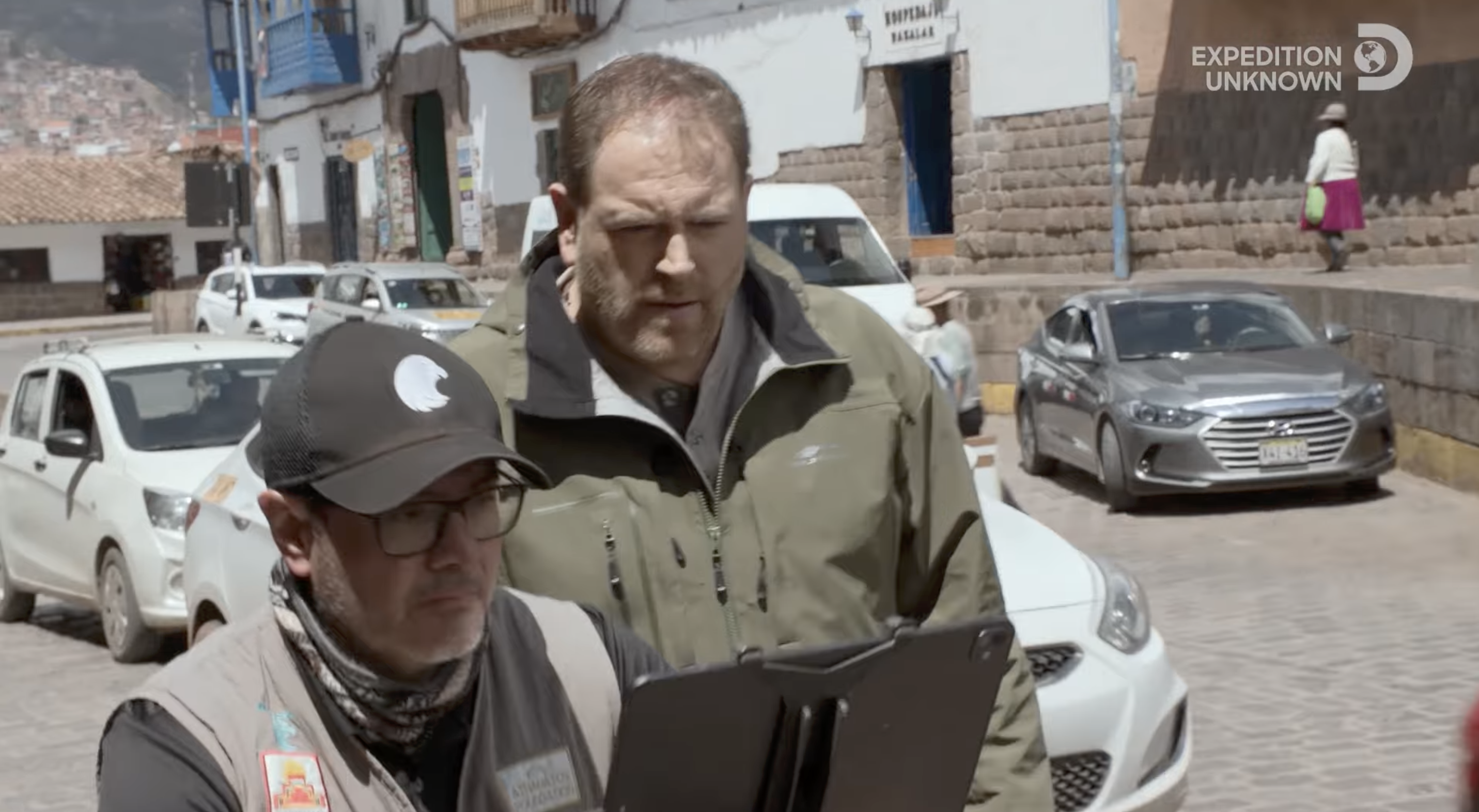
Can you tell us a bit about the history of the Chincana underground tunnels?
The Chincana has been part of Cusco's history and traditions for centuries. Inca Garcilaso de la Vega, writing in 1609, described a complex system of underground passages beneath Sacsayhuamán, almost like a labyrinth where people could easily become lost. Martín de Murúa, writing around 1615–1616, also referred to an underground passage associated with Sacsayhuamán and Qorikancha. That historical background made the investigation particularly fascinating. More than 400 years later, we had the opportunity to use modern GPR technology to look for physical evidence that could help us better understand those centuries-old accounts—and Expedition Unknown gave viewers the opportunity to follow part of that investigation.
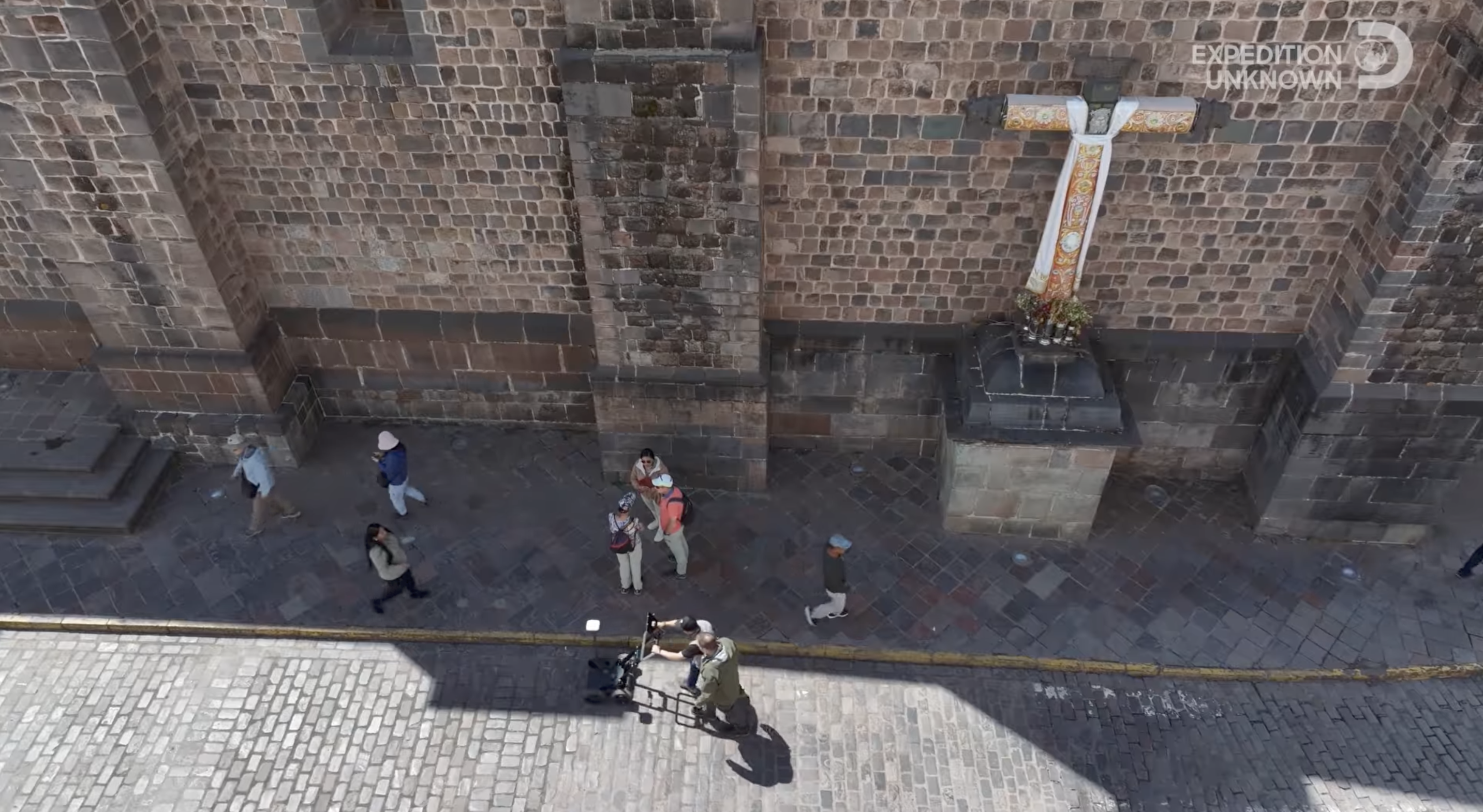
What lead you and Josh Gates to be scanning in the middle of the road dodging traffic?
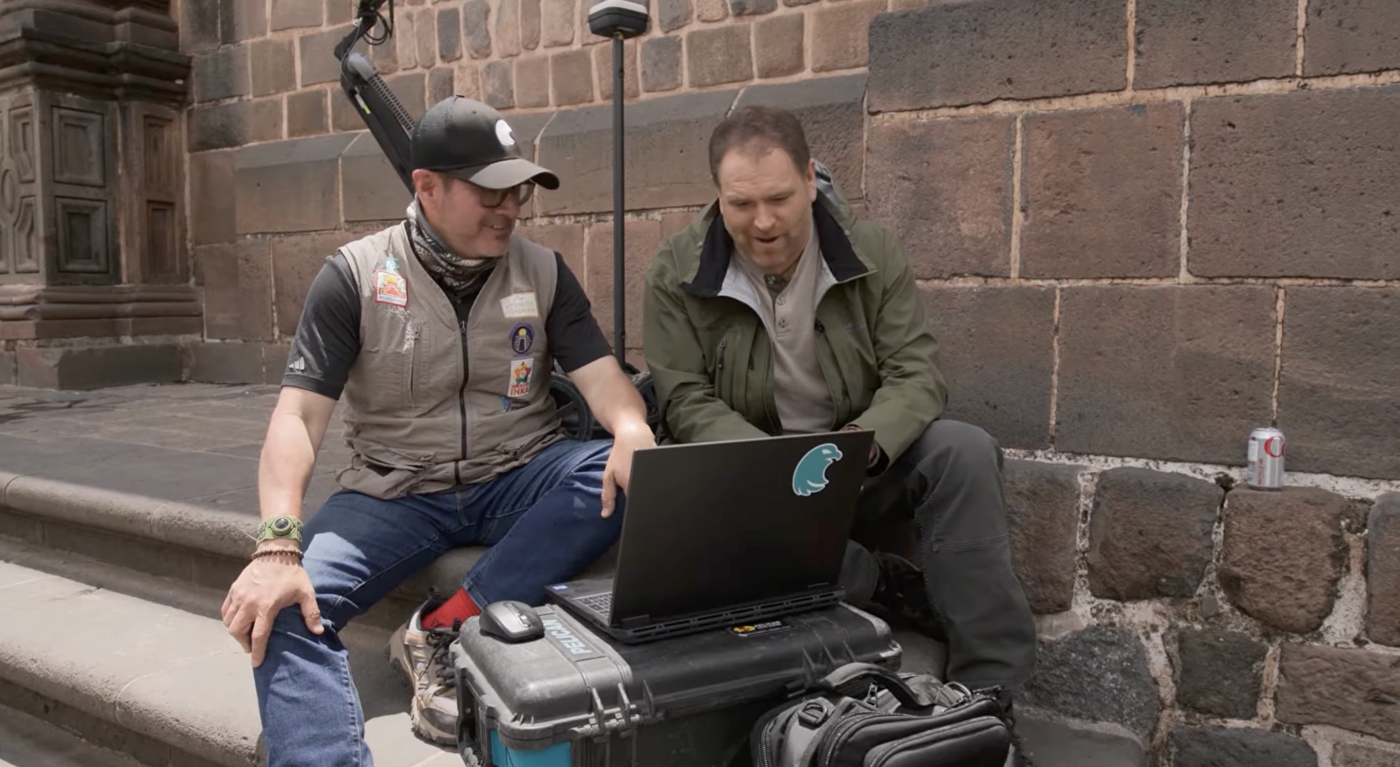
We were genuinely excited because we had an opportunity to test one of the historical traditions right there in front of Qorikancha. One of the proposed routes of the Chincana followed an axis associated with a specific window of Qorikancha, so we wanted to investigate whether subsurface anomalies continued along that alignment. We used the GS8000 in Free Path mode to follow the axis along the street. The problem was that this is one of the busiest areas of Cusco, with traffic converging from two streets exactly where we needed to scan. But at that point, curiosity took over—we wanted to see the data immediately. That's why you see us in the episode scanning the street while dodging traffic.
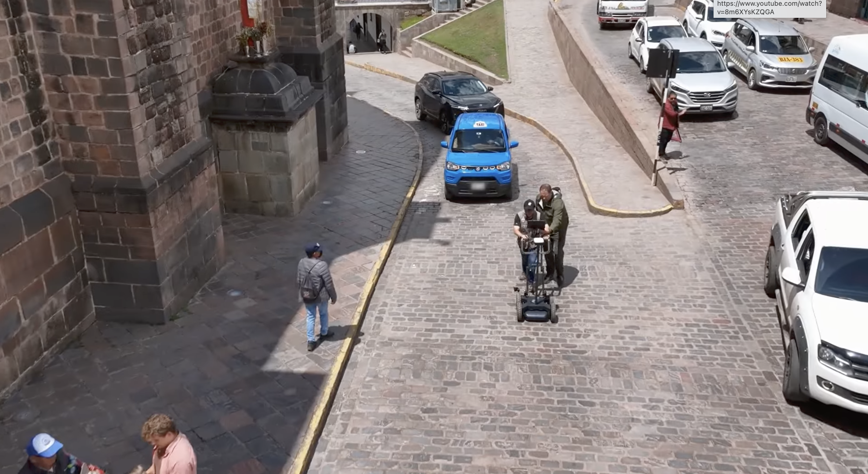
Why was the GS8000 GPR chosen to investigate the site?
The GS8000 Pro gave us something very important for this project: flexibility. At Sacsayhuamán we were dealing with rough, irregular archaeological terrain, while in Cusco we were scanning cobblestone streets and other challenging surfaces. Integrated positioning and Free Path scanning allowed us to document surveys where a conventional grid was not always practical. Its Stepped-Frequency Continuous-Wave technology also gave us a broad frequency range in a single acquisition, while the GS app allowed us to visualize the data in real time. In archaeology, being able to see something interesting in the field and immediately adjust the investigation can be extremely valuable.
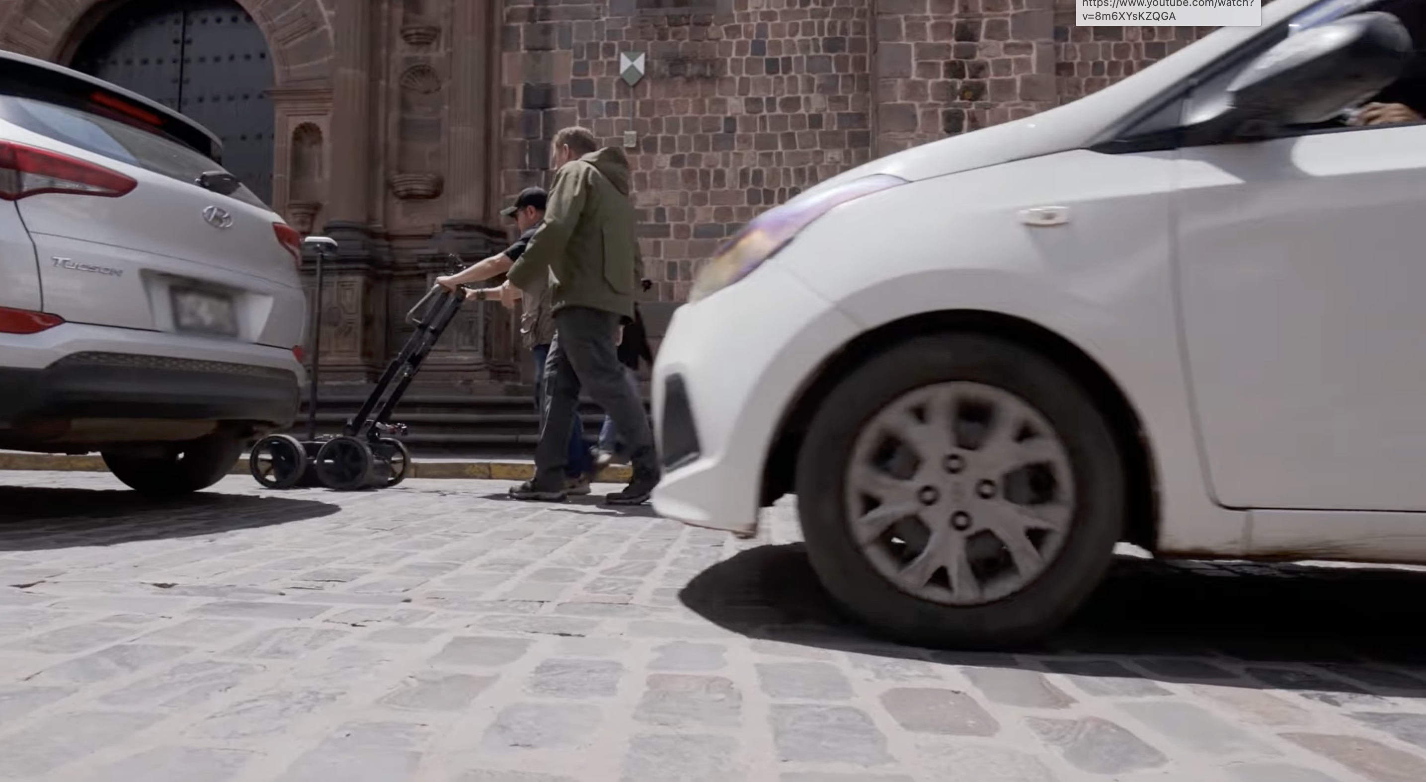
How did the radar handle the job?
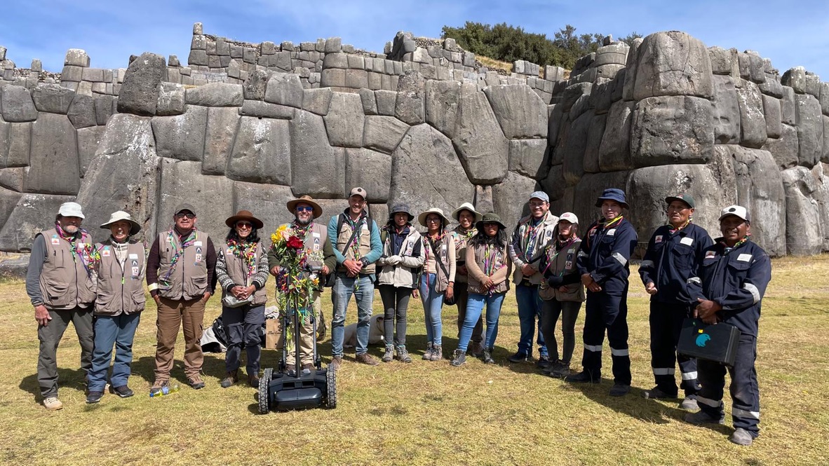
The GS8000 performed extremely well. We participated in the project for approximately 12 months using the same system under some very demanding field conditions. Sacsayhuamán is an archaeological site with rough, irregular terrain, while the historic streets of Cusco present a completely different challenge with their cobblestone surfaces. Throughout the project, we were able to use the GS8000 for line scans, area surveys, and Free Path acquisitions across these very different environments. That versatility was extremely important because an archaeological investigation like this cannot always adapt the site to the equipment—the equipment has to adapt to the site.
What did the GS8000 data actually reveal underground?
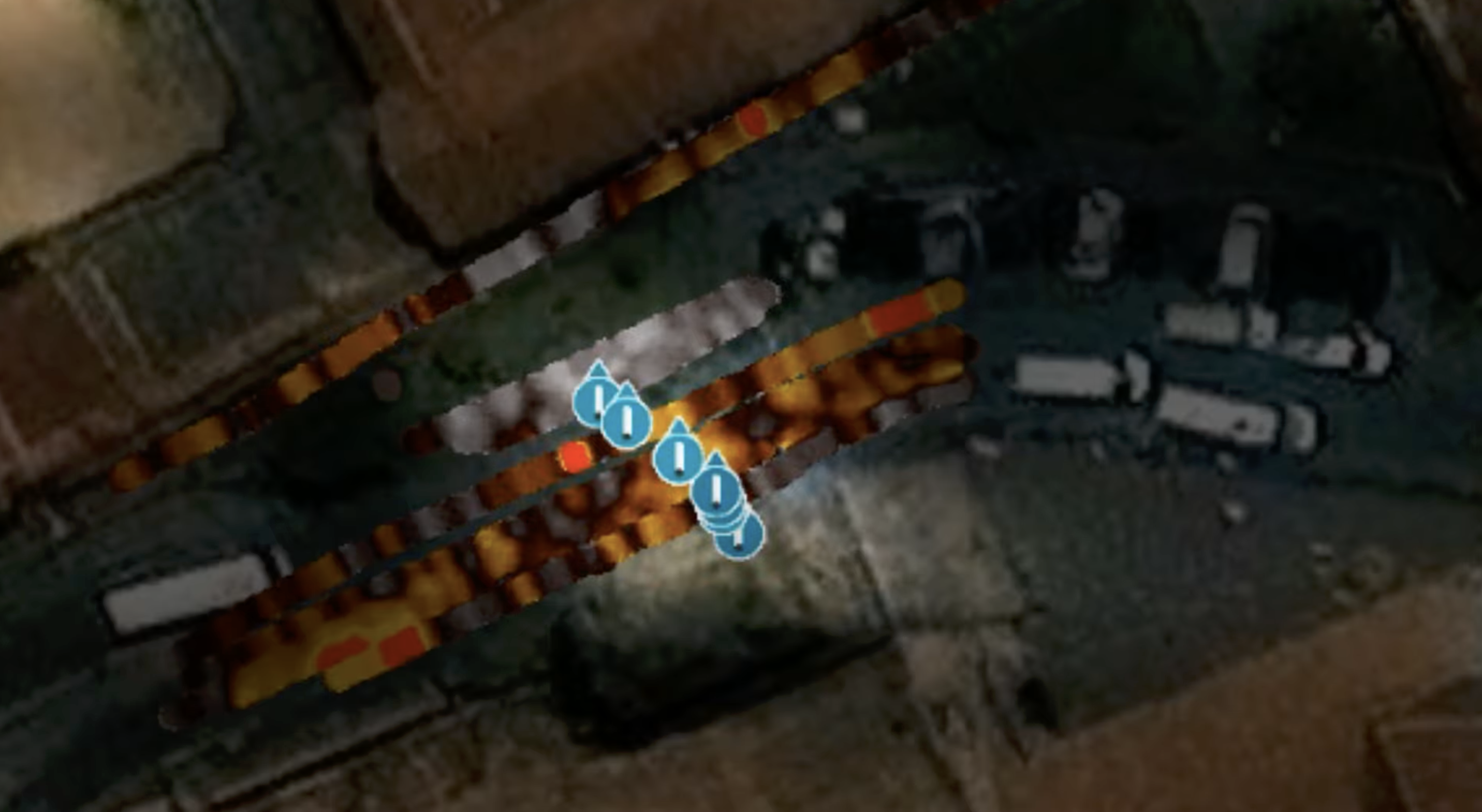
Over the course of approximately one year, we collected more than 1,000 GPR data files, so this became a substantial geophysical dataset rather than a series of isolated scans. Across the different survey areas, we identified numerous subsurface anomalies and features of archaeological interest, including possible passages, tombs, and stone formations. Perhaps even more important was our ability to compare anomalies between different survey areas and look for patterns and continuity. With GPR, an anomaly by itself can raise a question; repeated patterns and supporting archaeological context are what begin to make that question meaningful.
How did the local Peruvian experts react to seeing the findings?
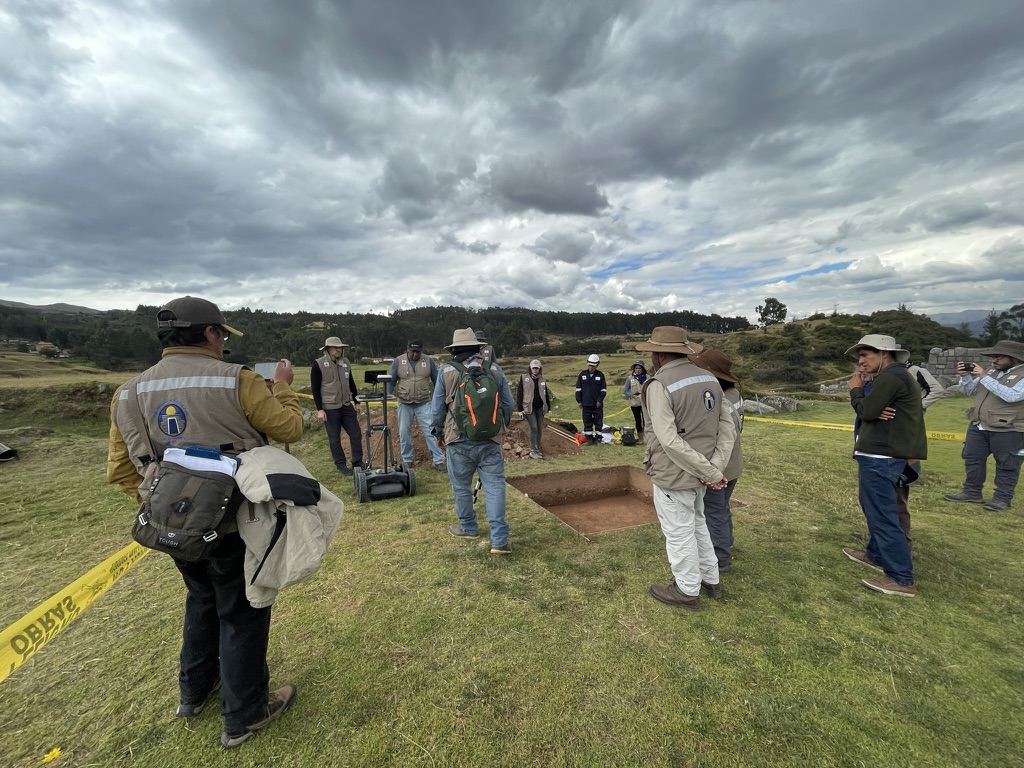
The reaction was very positive, but what was particularly interesting was how the role of GPR evolved during the project. It wasn't treated as a technology that comes in for one or two days, collects some scans, and leaves. It became an integral part of the investigation for approximately a year. Working closely with Peruvian archaeologists and international geophysicists highlighted the importance of combining different areas of expertise. GPR provides valuable information about what may exist beneath the surface without disturbing the archaeological site, but that information becomes much more meaningful when interpreted alongside the archaeological and historical context. As we collected more data throughout the project, we were able to compare findings, identify patterns, and provide additional evidence to support or reassess archaeological hypotheses.
How does it feel knowing you helped map a lost piece of Inca history?
I was born in Mexico, and since childhood I have been fascinated by archaeology, history, and the cultures of our pueblos originarios—the Indigenous peoples and civilizations of Latin America. Having the opportunity to participate in a project of this importance in Peru was an honor. I am very proud to have contributed to the Chincana project and to have worked alongside the archaeologists, geophysicists, and other experts involved. And, of course, having part of that experience documented for Expedition Unknown made it even more special.
What was your single favorite moment from filming the episode?
It is difficult to choose just one, so I would say there were two. The first was the adrenaline at the very beginning of filming—seeing the production come together, preparing the equipment, and realizing that we were about to share part of this incredible investigation with a worldwide audience. The second was almost the opposite: the feeling of peace and satisfaction when filming was finally completed. After all the preparation, fieldwork, technical challenges, and excitement, there was a moment when you could simply look back and realize what we had accomplished. Those two moments—the excitement at the beginning and the satisfaction at the end—were unforgettable for me.
The full case study is coming soon! Until then, check out more case studies with subsurface GPR on our Tech Hub.