Explore efficient road, runway and airfield inspection solutions

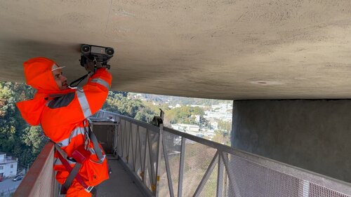
Visual inspection
Empower visual inspections of roads and highways with clear data and fast reports.

Road layer profiling
Determine the road layer depths with real-time visualization to plot layer profiles.

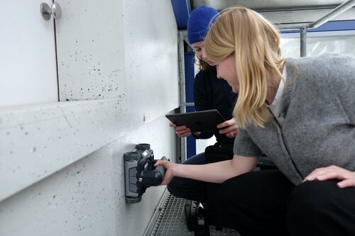
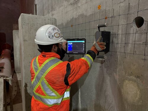
Subsurface mapping
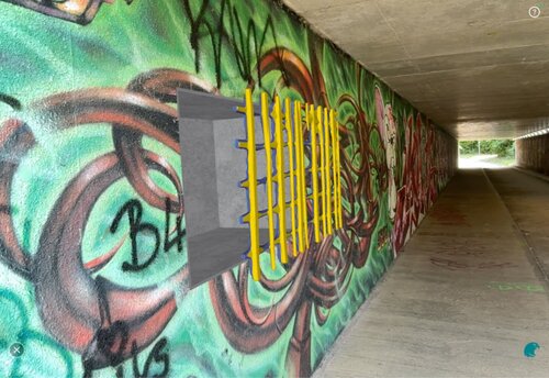
Detect and map the network of pipes and cables under the runway and surrounding areas.

Marking visibility testing
Inspect the visibility of road & runway markings and signs to keep traffic running smoothly.
Pave the way to durable, safer roads and highway networks
Large area investigations
with mobile mapping
Conduct subsurface investigations on large areas and highway networks using mobile mapping GPR with real time 3D visualization.
Mobile mapping enables you to keep a high-accuracy position even while driving through challenging urban scenarios at traffic speed, and see buried objects or voids forming on a map as you drive over them.


Detect cavities, sinkholes and utilities
with subsurface ground penetrating radar
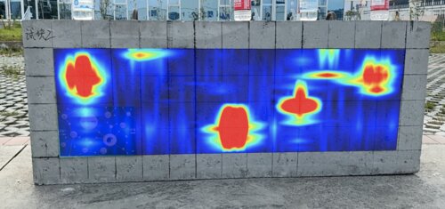
Map the location of subsurface cavities, buried utilities, such as pipes, cables, and foundations with real-time data visualization to prevent damage during runway construction or maintenance projects with multichannel GPR. This non-invasive technique also helps to confirm the drainage system is functioning properly, detect voids, and evaluate the condition of subsurface pavement structures.

Streamline road inspection
with intelligent software
Optimize all types of road and high assessments by using intelligent visual inspection software. From archaeology and cultural resources applications, to road, highway and bridge inspection, the main goal is to achieve accurate, clear data. Intelligent inspection software like Screening Eagle Inspect, empowers visual inspections of roads and highways, providing all stakeholders with ultra-clear, comprehensive data and fast reports.

Enhance road layer profiling
with subsurface ground penetrating radar
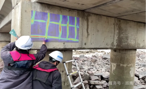
Subsurface GPR offers a reliable solution for several types of road applications including utility locating, subsurface mapping and determining the road layer depths to plot a layer profile. One of the most crucial points of road assessment with GPR is that visualization of the layers and any subsurface objects can be done efficiently. With Screening Eagle Proceq GPRs, you can measure road profiles, locate utilities and visualize the subsurface environment in high resolution 3D in real-time for super-fast analysis of the data.

Test visibility of road markings and signs
with retroreflectometers
Ensuring a reliable and efficient way to inspect the visibility of road markings and signs is essential for safety. From hand-held solutions to measure the retroreflectivity of signs, to dynamic retrorelectometers that can measure the visibility of large-scale highways, discover the reliable solutions for every project to keep traffic running smoothly.

Have multiple requirements, or not sure of the best road assessment equipment for you?
Our product specialists will help guide you through the process of finding the right solution for your needs.