Real-time results
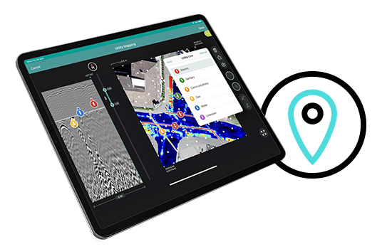
With GS8000’s unique ‘Free Path’ it is possible to see a service literally forming in front of your eyes as you move and you can make decisions while scanning. You are no longer constrained to a grid pattern.
Integrated & accurate maps
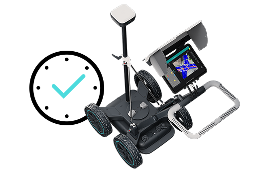
The GS8000 comes complete with a geopositioning module so that the location is captured together with GPR data in real time with cm accuracy.
Findings can be accurately digitized and plotted on the same map alongside other findings on the ground, all in the local coordinate system of your choice.
High quality deliverables
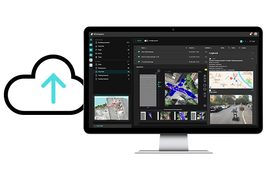
You are empowered to effortlessly analyse and share your findings however you choose, on your iPad or computer. GS8000 data is automatically synchronized to your web-based Workspace account, from where GPR Insights software can be used for advanced data analysis and visualization of your GPR data.