Having an ultra-clear view of the complex network of utilities underground is crucial to prevent costly damage, optimize construction projects, ensure safe digging and assist with excavation.
Explore the versatile solutions for subsurface utility mapping with high efficiency

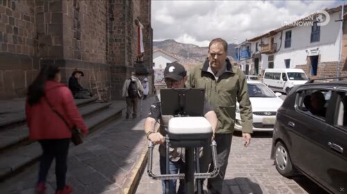
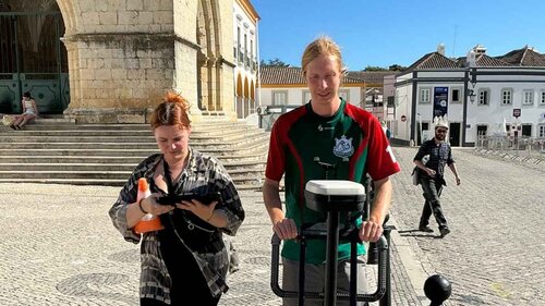
Versatile SUE utilities surveying
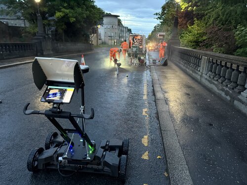
Scan and digitize the subsurface with clear 3D image of utilities as you walk.

Multichannel GPR utility mapping
Achieve an accurate 3D map of the underground with the highest density of data.

Highway speed mobile mapping
Get powerful insights into large areas with the highest level of efficiency and detail.

GPR data analysis
Take your GPR data analysis and deliverables to the next level with easy-to-use software.
Advanced GPR sensors and software for SUE Utilities Survey
Leverage easy-to-use sensor and software solutions to deliver clear, real-time data for subsurface utility mapping projects, giving you the ultimate insights for informed decision making.
Ensure damage prevention
Versatile SUE utilities survey
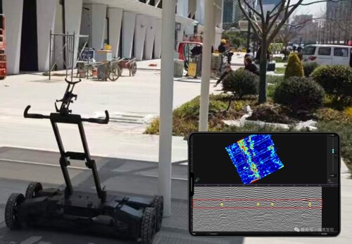
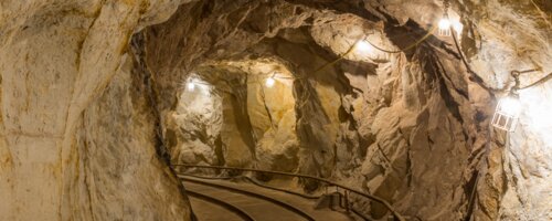
Locate and map a wide range of underground utilities, including pipes, cables, conduits, and voids with ease using powerful ultra wideband GPR technology. Visualize the objects below in real-time with high resolution and accurate geolocated data.

Subsurface Mapping GPR

Accelerate data collection
Multichannel GPR utility mapping
Experience the latest advancement in subsurface GPR with enhanced capabilities for utility location and mapping. Conducting SUE utilities surveys with multichannel GPR enables parallel data acquisition, significantly increasing survey speed and efficiency.


Multichannel 3D GPR System

Enable unmatched efficiency
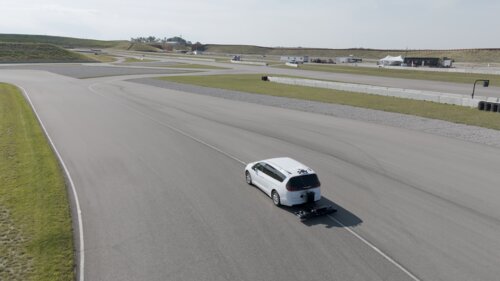
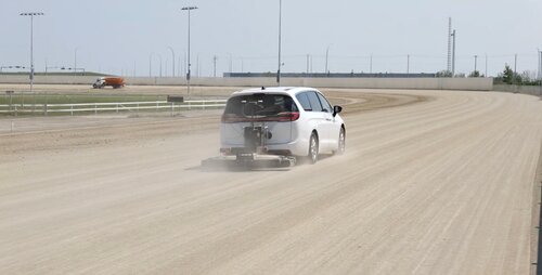
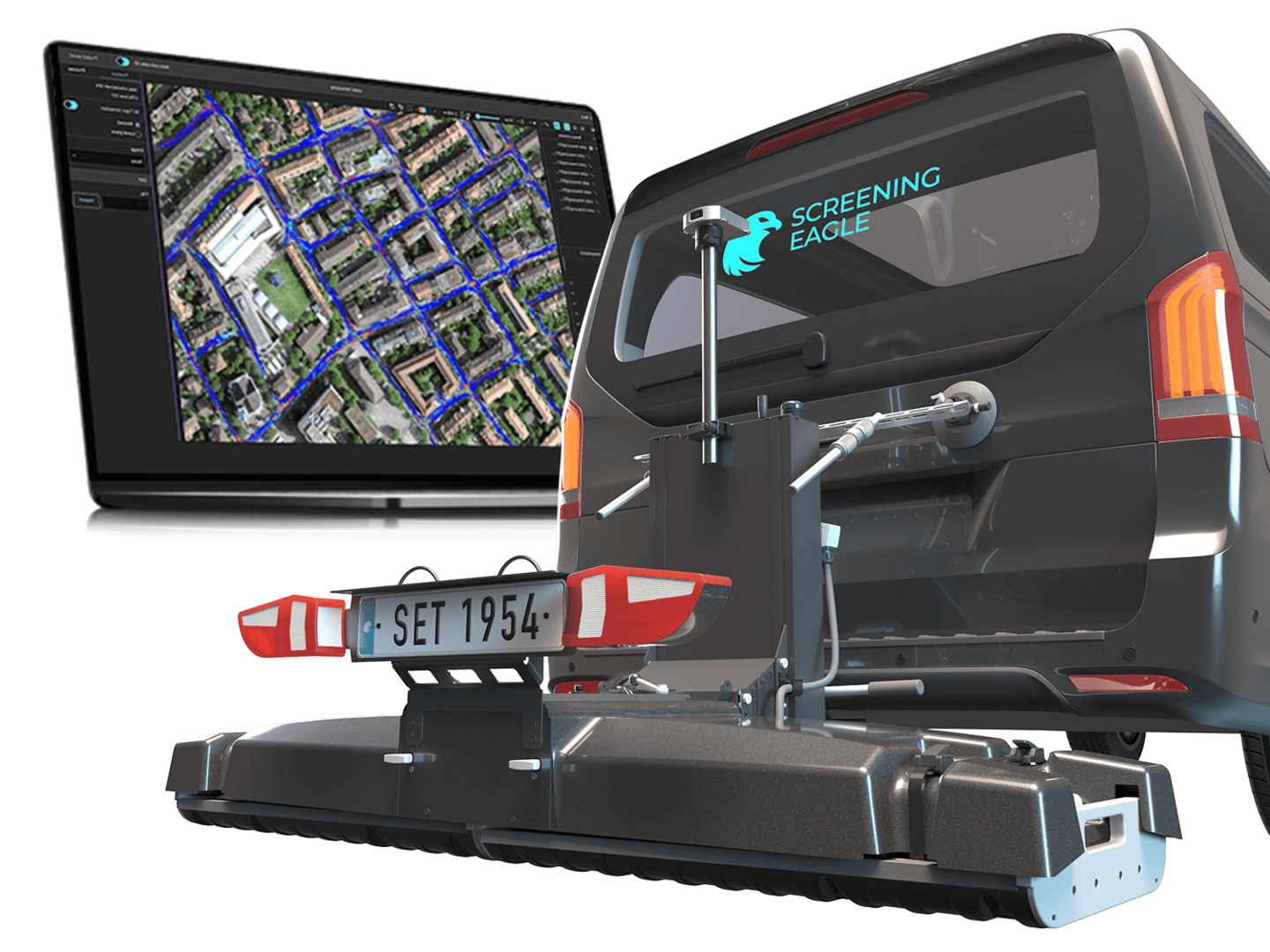
Highway speed mobile mapping
Thanks to groundbreaking new mobile mapping GPR technology, SUE utilities surveys on large areas such as bridges and roads are now exceedingly efficient. With interchangeable arrays you can achieve near and deep detection of utilities at highway speed.


Multichannel GPR Mobile Mapping System
Facilitate big data analytics
GPR data analysis
With GPR sets of all sizes often comes the need for post-processing to obtain the ultimate deliverable, rather than just a mark on the ground. Using easy-to-use software with ultra-fast computing architecture, it’s now possible to create stunning visualizations in minutes from any type of GPR data, regardless of size.

GPR data post-processing and analysis software

Interested in a no obligation quote for SUE utility survey solutions?
Contact us to get started.