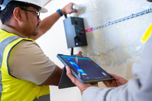
Discover advanced pipeline mapping solutions

Subsurface utility location
Enable flexible scanning of subsurface utilities with high resolution, real-time imaging

Large area mapping
Map underground pipelines and powerlines in large areas with high efficiency and real-time 3D visualization.

Extra-large area mobile mapping
Conduct subsurface mapping over extensive areas and reveal high level of detail at highway speed.

Data post-processing
Turn your raw data into incredible 3D visualizations to extract the deepest insights possible.
Locate, map and monitor subsurface utilities
Locate underground utilities
with subsurface mapping GPR
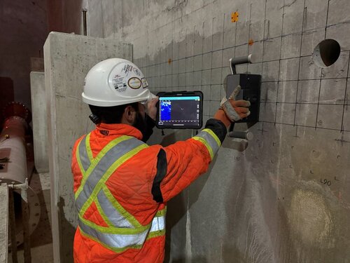
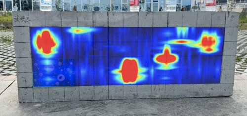
Enable flexible utility location and mapping of buried objects, powerlines and pipelines subsurface GPR. This non-invasive method is particularly useful for identifying and mapping powerlines and pipelines with smaller diameters. Using the Proceq GS8000 Subsurface Mapping System, you can swiftly scan the area with flexibility to walk your own path without following a grid and visualize the results in high resolution in real-time.

Map large subsurface areas
with multichannel subsurface GPR
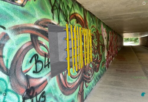
Efficiently map large subsurface areas with ease using multichannel subsurface mapping GPR. With exceptional data acquisition speeds and ultra-high resolution imaging, the GS9000 subsurface mapper is the ideal solution for challenging conditions and large oil fields that require both high accuracy and efficiency. Collect the highest density of data across all three dimensions and visualize the data in 3D, in real-time for fast decision making.

Map extra-large areas
with multichannel mobile mapping GPR
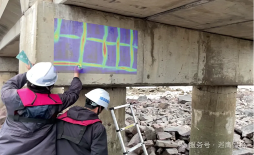
Create detailed subsurface maps of the subsurface pipes, cables, structure sand objects, on areas with a vehicle mounted mobile mapping GPR. Save time and costs on surveys with the ability to capture and process vast amounts of quality big data in minutes. With the GM8000 mobile mapping system, you can reality capture the subsurface at highway speeds with high precision in a single pass for even more productivity.

Transform your raw data
with GPR data post-processing software
Take your subsurface mapping GPR data to another level with post-processing and analysis software that enables you to create stunning 3D visualization rendering from your raw data. Extract the deepest insights in seconds, regardless of experience level with data post-processing, and create superior deliverables from any type of GPR data. Check out GPR Insights web-based software for use on any standard PC or laptop, to post-process and analyze unlimited data sets with ease.

Have multiple requirements, or not sure of the best solution for you?
Our product specialists will help guide you through the process of finding the right solution for your needs.