Subsurface ground penetrating radar (GPR) is transforming archaeological exploration. With its ability to explore buried structures and elements without disturbing the delicate remnants of history, GPR is an invaluable tool to create high-resolution maps of the subsurface, understand the layout of an archaeological site and identify potential areas of excavation.
Discover the advanced solutions for archaeological exploration

Subsurface exploration
Scan the subsurface and create detailed images of archaeological deposits or structures.

Large area exploration
Experience deep and near surface exploration covering vast areas with mobile mapping.

Multichannel GPR surveying
Map the subsurface of an entire archaeological site with real-time 3D data visualization.

Data post-processing & analysis
Verify your data and gain even deeper clarity and insights into any voids or structures.
Powerful subsurface GPR sensors and software for Archaeological Exploration
Capture clear, real-time data for archaeological surveys with intelligent, state of the art sensor and software solutions that deliver unparalleled insights into historic features below the surface.
Digitize on-site findings
Subsurface exploration
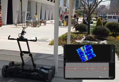
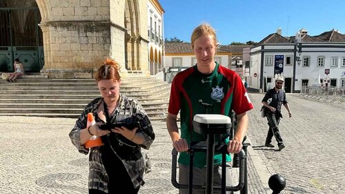
Generate high-resolution images of the subsurface and map the location and depth of buried features, such as walls, ditches, and pits. With the unparralleled accuracy of Stepped Frequency Wave GPR, you can achieve a comprehensive archaeological survey in just one scan. View the results immediately in 2D, 3D as you walk.

Subsurface Ground Penetrating Radar (GPR)

Capture 3D reality
Multichannel GPR surveying
Expand the range of archaeological deposits that can be investigated at greater depths with the use of multichannel GPR. Utilizing parallel processing, multichannel GPR significantly enhances the speed and density of data acquisition, providing archaeologists with a wealth of information about buried archaeological features. Use multichannel GPR to create accurate maps of buried features in real-time, guiding explorations and excavations with precision.

Multichannel GPR Survey System

Open new frontiers
Large area exploration
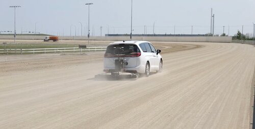
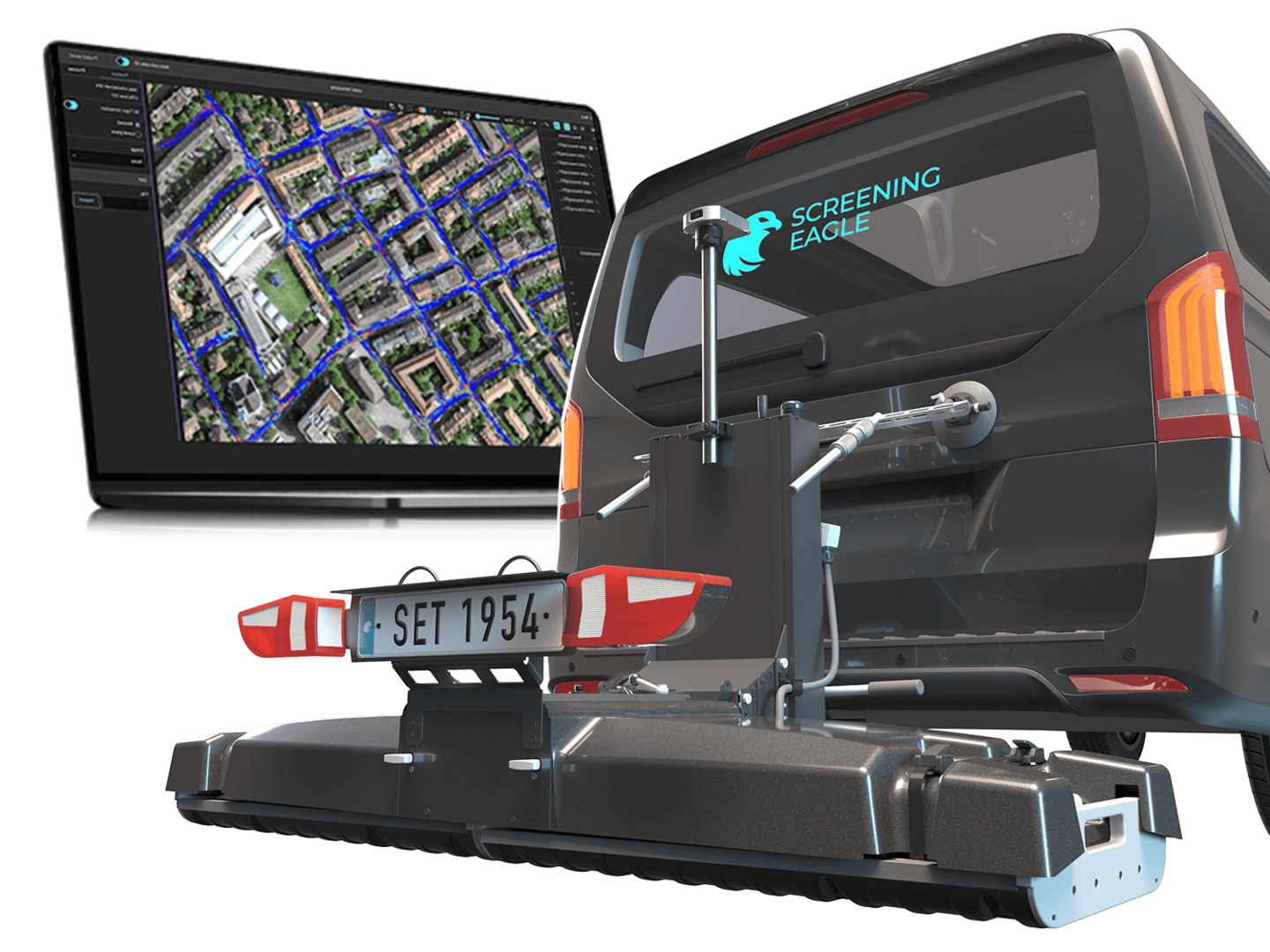
Explore and document large-scale archaeological sites with ease using the transformative power of mobile mapping systems. Using a multichannel GPR array like the GM8000 mounted to a vehicle, you can achieve the highest density subsurface data and create detailed 3D maps at highway speed.

Multichannel GPR Mobile Mapping System
Gain enhanced insights
Data post-processing and analysis
When surveying archaeological and heritage sites, even the smallest feature can have important meaning, so processing and visualizing the data can be just as important as the survey itself. With intelligent GPR post processing and analysis software, you can extract meaningful archaeological insights in seconds to gain a deeper understanding of the site and its features. This is crucial for planning further investigations, such as excavations, and for developing a comprehensive understanding of the site's history and cultural significance.

GPR Data Post-processing and Analysis Software

Have multiple requirements, or not sure of the best solution for you?
Our product specialists will help guide you through the process of finding the right solution for your needs.